
CURRENT AFFAIRS | 12 OCTOBER 2026
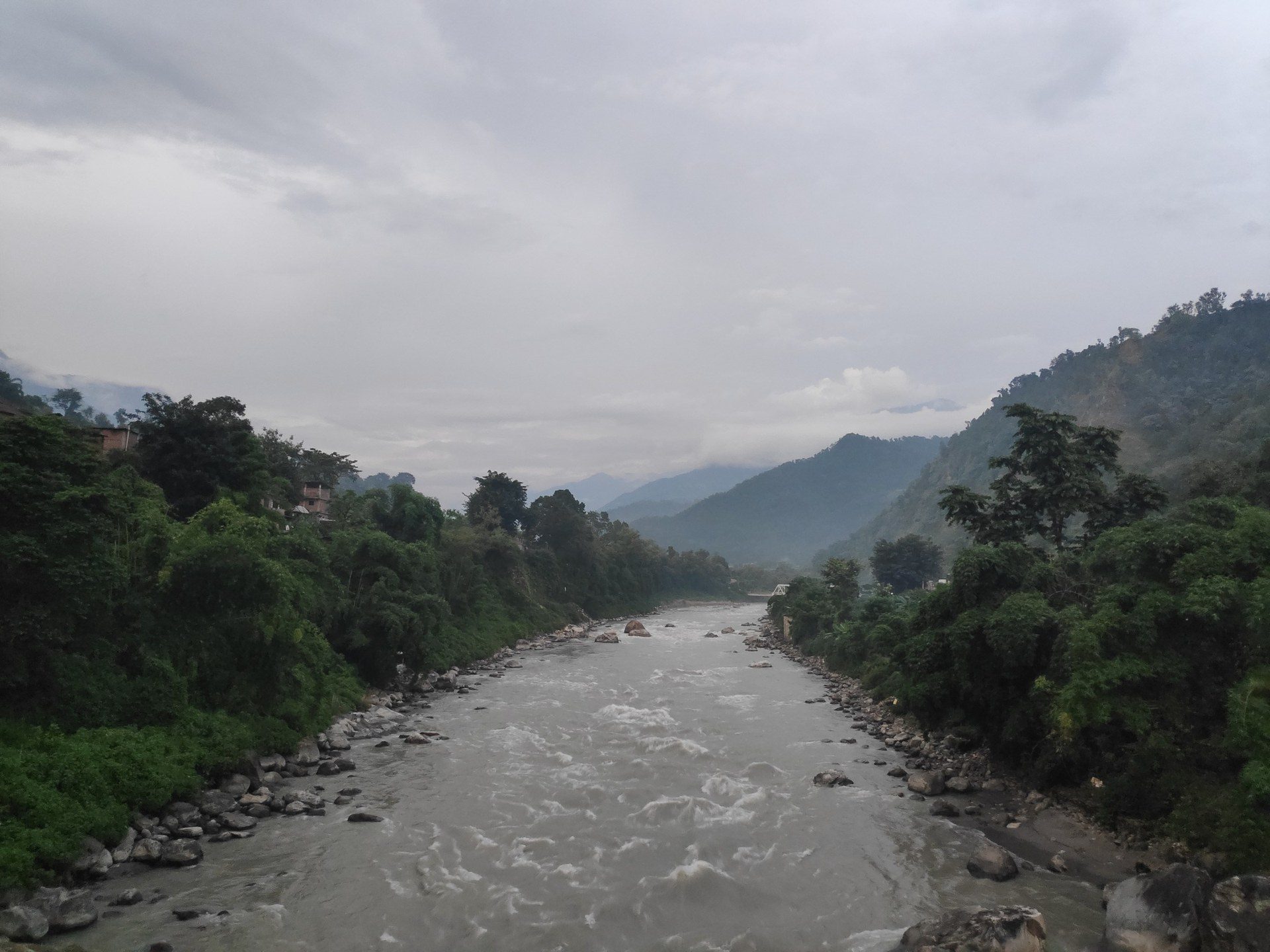
In the early hours of Sunday, 11 October 2026, a flash flood surged down the Budhi Gandaki river in Gorkha district of north-central Nepal. According to The Kathmandu Post, the flood caused widespread damage in Chumnubri and Dharche rural municipalities, sweeping away an estimated 35 to 40 houses, several bridges and part of a hydropower construction site. Residents along the river were evacuated, as The Hindu also reported.
The likely cause matters for exam purposes. Nepal’s Department of Hydrology and Meteorology (DHM) said a landslide near Chumchet may have blocked a tributary before a sudden release of water triggered the flood. The exact cause remains unconfirmed, but this was not described as a rain-driven flood. It is a textbook example of a landslide-dam outburst, a mountain hazard that CLAT passages on disasters and climate increasingly discuss.
What happened
The Kathmandu Post’s report of 11 October, quoting the rural municipality’s administrative chief, said flooding swept away an estimated 35 to 40 houses in Jagat Bagar, Salleri and Ghattikhola in Chumnubri Rural Municipality. The damage to connectivity was severe:
- Suspension footbridges connecting Nyakchet and Sirdibas, and Machhakhola and Kerauja, were swept away.
- A motorable iron bridge at Soti in Aarughat Rural Municipality was destroyed.
- The bridge at Aarughat connecting Gorkha and Dhading districts was destroyed.
- Floodwaters carried away a construction camp and equipment at the site of the 341-megawatt Budhi Gandaki hydropower project under construction in Salleri.
On the human toll, both The Kathmandu Post and The Hindu reported that at least five people were missing. The Kathmandu Post said the Nepali Army rescued six people by helicopter from Jagat, an area at risk of landslides, and that no deaths or injuries had been confirmed in preliminary reports.
Authorities warned of a very high flood risk along the Trishuli corridor as far downstream as Benighat, and urged residents around Mugling, Chitwan and Nawalparasi to stay alert. That warning makes sense once you follow the river: the Budhi Gandaki merges into the Trishuli.
Background & Framework
The river system: the Budhi Gandaki flows south through Gorkha and joins the Trishuli. The Trishuli is a major tributary of the Narayani basin; near its confluence with the Trishuli at Devghat in Chitwan, the Gandaki river is called the Narayani. On entering India it is known as the Gandak, a left-bank tributary of the Ganga. The wider Gandaki basin contains three peaks above 8,000 metres — Dhaulagiri, Manaslu and Annapurna.
Landslide-dam outburst vs GLOF: a Glacial Lake Outburst Flood (GLOF) happens when a lake dammed by ice or glacial debris (moraine) breaches. A landslide-dam outburst happens when a landslide blocks a river or tributary, water piles up behind the debris, and the natural dam then gives way. The DHM’s preliminary view of the Budhi Gandaki flood points to the second type.
Disaster governance: globally, disaster risk reduction is guided by the Sendai Framework for Disaster Risk Reduction 2015–2030. In India, the Disaster Management Act, 2005 created the National Disaster Management Authority (NDMA), chaired by the Prime Minister.
Why mountain floods are getting attention
Himalayan river valleys are narrow and steep. When a slope fails, debris can block a river within minutes, and the water that builds up behind it can be released with little warning. Because such a flood can arrive on a dry day, rainfall forecasts alone cannot warn of it. A national disaster agency official quoted in the wire report said a “dry landslide” had blocked the river and then burst.
The International Centre for Integrated Mountain Development (ICIMOD), based in Kathmandu, said the floods highlight the “range of hazards capable of generating destructive floods in Himalayan river systems”, and that understanding the trigger would be critical for reducing future risks. That idea — that the Himalaya generates floods through several mechanisms, not only rain — is exactly the kind of reasoning a CLAT passage might test.
The flood also shows the exposure of infrastructure. Hydropower projects, bridges and roads in narrow valleys are vulnerable to sudden surges. The loss of the Aarughat bridge, linking two districts, shows how one event can cut off communities and slow relief.
The CLAT Angle
GK questions could ask: which river flooded (Budhi Gandaki); which district (Gorkha, Nepal); the suspected cause (a landslide blocking a tributary, per the DHM); and which river the Budhi Gandaki joins (the Trishuli).
Geography links: the Gandaki is called the Narayani in Nepal’s plains and the Gandak in India, and joins the Ganga. Rivers that rise in or flow through Nepal feed the Ganga basin, so floods there can affect downstream areas in India too.
Reasoning: a passage might contrast a GLOF with a landslide-dam outburst and ask which fits a set of facts. Key clue words: “glacial lake” or “moraine” point to a GLOF; “landslide blocked the river” points to a landslide-dam outburst. Another question could ask why an early-warning system based only on rainfall would have failed here.
Trap to avoid: do not attribute this flood to heavy rain. Officials suspect a landslide; the cause is not yet confirmed.
Analysis: lessons for the region
Nepal and India share Himalayan river systems, so disaster risk in one country carries over to the other. The Budhi Gandaki flash flood underlines three lessons. First, monitoring: satellite imagery, which reportedly showed a large landslide in the area, can identify blockages before they burst. Second, early warning downstream: the Trishuli corridor alert shows how a local event triggers a basin-wide warning. Third, resilient infrastructure: bridges and hydropower sites in steep valleys must be designed and sited with sudden floods in mind.
These are the same priorities the Sendai Framework sets: understanding risk, strengthening governance, investing in resilience and improving preparedness. For CLAT, the takeaway is conceptual rather than numerical — know the mechanism, the river system and the governance framework.
Key Facts
- Event: flash flood on the Budhi Gandaki river, early hours of 11 October 2026.
- Place: Gorkha district, Nepal — Chumnubri and Dharche rural municipalities.
- Damage: an estimated 35–40 houses swept away (rural municipality chief, via The Kathmandu Post).
- Bridges lost include the Aarughat bridge linking Gorkha and Dhading districts.
- Construction camp hit at the 341 MW Budhi Gandaki hydropower project site.
- At least five people missing; no deaths confirmed in preliminary reports.
- Suspected cause (DHM): a landslide blocked a tributary, then released water suddenly.
- Alert along the Trishuli corridor down to Benighat.
- The Budhi Gandaki merges into the Trishuli; the Trishuli is a tributary of the Narayani.
- Gandaki = Narayani (Nepal plains) = Gandak (India), a left-bank tributary of the Ganga.
- Sendai Framework: 2015–2030; India’s Disaster Management Act: 2005.
Memory Hook / Mnemonic
“Budhi to Trishuli to Narayani to Gandak to Ganga” — B-T-N-G-G: “Big Trucks Never Go Gently.”
“Ice = GLOF, Earth = Landslide-dam.” If the dam was made by a glacier or moraine, it is a GLOF; if a slope fell into the river, it is a landslide-dam outburst.
“Gorkha, 11/10, 35–40” — district, date, houses.
Practice Quiz — 10 CLAT-Style Questions
Click an option to reveal the answer and explanation.