
Watch the video explainer · open on YouTube
VIDEO EXPLAINER | 31 OCTOBER 2026
On 27 July 2026 the Environment Ministry issued its seventh draft notification proposing 56,825.7 sq km of the Western Ghats across six States as an Ecologically Sensitive Area, after the sixth draft lapsed. The area follows the 2013 Kasturirangan report, not the far stricter 2011 Gadgil (WGEEP) report that wanted the whole range covered with graded zones. Mining, quarrying, new thermal plants, red-category industry and large construction are banned, while farming and plantations are untouched; Karnataka, Kerala and Goa are still resisting, and the expert committee’s tenure runs to July 2027. Madhav Gadgil himself died in January 2026.
What happened
The sixth draft had been re-notified in 2024, a day after the Wayanad (Kerala) landslide of July 2024 and about a month after the previous draft lapsed.
The expert committee re-examining the six States’ suggestions was constituted by an O.M. of 18 April 2022 under Sanjay Kumar, former Director General of Forests; it got a tenure extension in June 2026 and now runs till July 2027.
The draft notification itself describes the region as highly landslide-prone, needing special measures of protection and mitigation.
State-wise, the proposed ESA is largest in Karnataka (20,668 sq km) and smallest in Gujarat (449 sq km); Maharashtra 17,340, Kerala 9,993.7, Tamil Nadu 6,914 and Goa 1,461 sq km.
The seventh draft was issued because the sixth draft lapsed amid a continuing deadlock between MoEFCC and the States over demarcation.
Hydropower is allowed but regulated: projects need a cumulative environmental impact assessment and must leave at least 30% uninterrupted river flow in the lean season.
A study cited by scientist T V Ramachandra found evergreen forest cover in the Ghats fell from 16% in 1985 to 11% in 2018, while built-up area rose 4.5% and agriculture 9%.
Background and the rules behind it
The Gadgil panel (WGEEP) recommended that the entire Western Ghats as it delimited them – 1,29,037 sq km – be declared an ESA, graded into three zones, ESZ1, ESZ2 and ESZ3, by ecological sensitivity.
The Kasturirangan report limited the ESA to about 37% of the Western Ghats, roughly 59,940 sq km of natural landscape, using geospatial analysis, and allowed hydel projects the Gadgil report had opposed.
Every ESA draft notification since 2013 has been based on the Kasturirangan, not the Gadgil, boundaries.
The Western Ghats (Sahyadri) run about 1,500 km from the Tapi valley on the Gujarat-Maharashtra border to Kanyakumari, parallel to the west coast.
The Western Ghats were inscribed as a UNESCO natural World Heritage Site in 2012 as a serial property of 39 component sites in seven sub-clusters.
The Western Ghats are one of the world’s eight ‘hottest hotspots’ of biological diversity and host more than 7,000 species of flora and fauna.
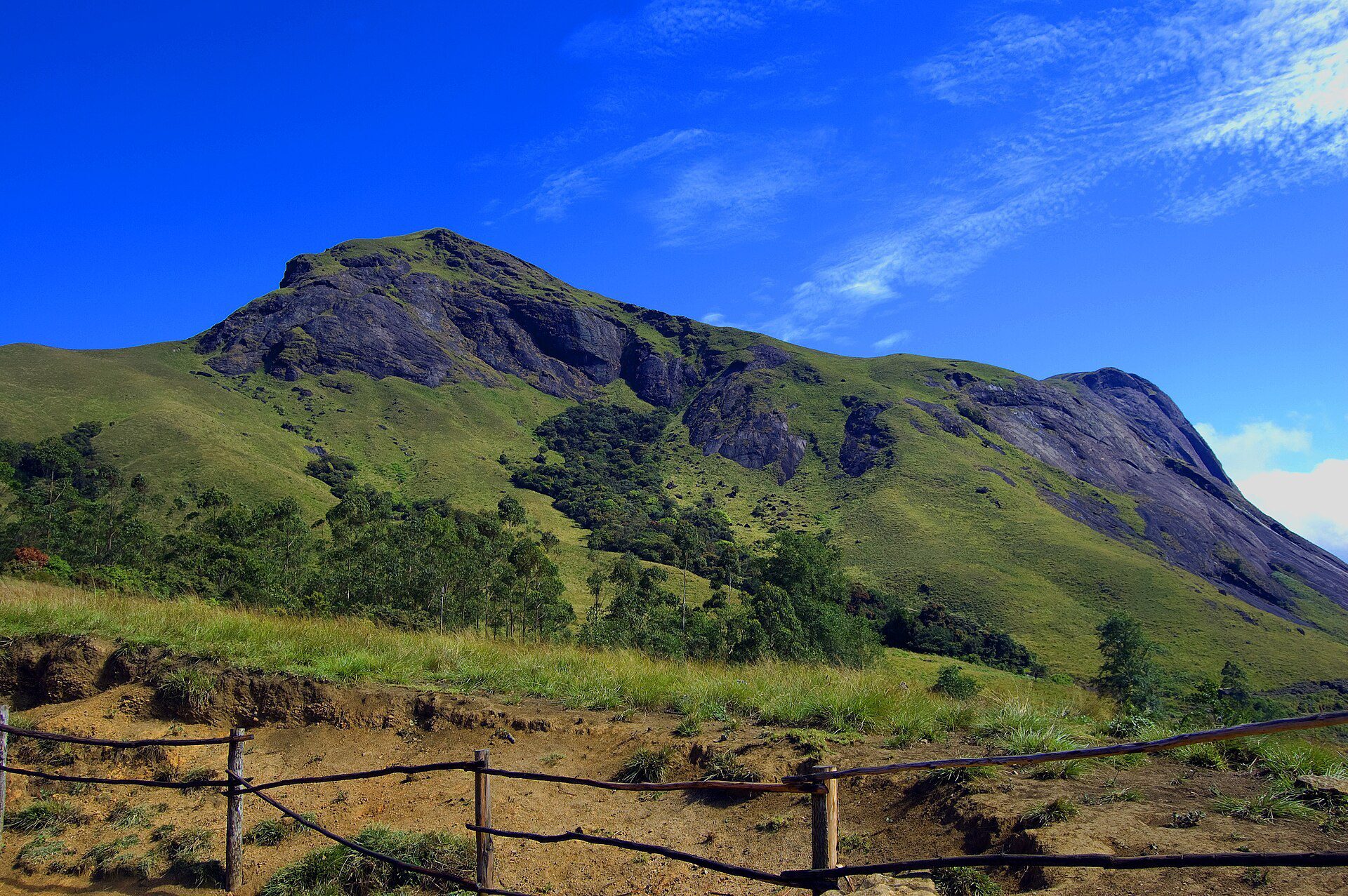
Anamudi (Anaimudi), 2,695 m, in Kerala is the highest point of the Western Ghats and the highest peak in India south of the Himalayas; the 1,600 km range is interrupted only by the 30 km Palghat Gap, at about 11 degrees N.
Key terms
- Ecologically Sensitive Area (ESA): An area notified by the Centre where harmful activities such as mining and heavy industry are banned or restricted.
- Eco-Sensitive Zone (ESZ): A buffer around a national park or sanctuary, usually up to 10 km, where activities are regulated.
- Red-category industry: The most polluting class of industry in the Pollution Control Board’s colour classification.
- Draft notification: A proposed government order published for objections; it lapses if not finalised in time.
- Biodiversity hotspot: A region with exceptional endemic species that has lost most of its original habitat.
- Cumulative impact assessment: A study of the combined effect of all projects in a basin, not just one project.
Constitutional / Legal / Institutional framework
- Environment (Protection) Act, 1986 (s.3(2)(v) read with the Environment (Protection) Rules, 1986): Empowers the Centre to restrict industries, operations and processes in specified areas; the legal basis for notifying eco-sensitive areas and zones.
- Wildlife Conservation Strategy-2002 / MoEF ESZ Guidelines, 9 February 2011: Source of the 10 km figure: as a general principle an eco-sensitive zone’s width could go up to 10 km around a protected area, but delineation is site-specific and regulatory, not prohibitive.
- Draft ESA notification, 27 July 2026: Bans mining, quarrying, thermal plants, red-category industry and big construction in 56,825.7 sq km; allows farming and plantations; 60 days for objections.
- Art. 48A and Art. 51A(g), Constitution of India: Directive to the State to protect forests and wildlife; fundamental duty of citizens to protect the natural environment.
CLAT angle
- Passage on development vs conservation: which committee said what, and which report the notification follows.
- Match: Gadgil = WGEEP 2011, entire Ghats, three ESZ zones; Kasturirangan = HLWG 2013, 37% / about 60,000 sq km.
- Numbers: 56,825.7 sq km, six States, 1,463 villages, 60 days for objections, Karnataka largest share.
- Legal reasoning: ESAs are notified under the Environment (Protection) Act, 1986 by executive notification, not by a new law.
- Static geography: Sahyadri, 1,500 km, Anamudi 2,695 m, UNESCO 2012, one of eight hottest hotspots.
Key facts
| Fact | Detail |
|---|---|
| 2010 | WGEEP (Gadgil panel) constituted by MoEF |
| 2011-08-31 | Gadgil panel submits its report |
| 2012 | Western Ghats inscribed as a UNESCO World Heritage Site |
| 2012-08-17 | High Level Working Group under K. Kasturirangan constituted |
| 2013-04-15 | Kasturirangan report submitted: ESA limited to about 37% / 59,940 sq km |
| 2014 | First ESA draft notification issued |
| 2024-07 | Wayanad landslide; sixth draft re-notified a day later |
| 2026-07-27 | Seventh draft ESA notification issued: 56,825.7 sq km, 1,463 villages |
Mnemonic / memory hook
Remember the trap.
Trap 1: the notification is a DRAFT (the seventh), not a final notification; nothing is notified yet and the ESA has been pending since 2011. Trap 2: the area follows the KASTURIRANGAN report (2013), not the Gadgil report (2011). Trap 3: Gadgil headed the WGEEP, an expert panel; Kasturirangan headed a High Level Working Group, and he is a space scientist, ex-ISRO chief, not an ecologist. Trap 4: ESAs are notified by executive notification under the EPA 1986 – no new statute is involved.
Sources
Primary documents and reporting listed in the fact base: moef.gov.in, UE Sep 2026 p.120, india.mongabay.com, UE Sep 2026 p.120 ; https:, business-standard.com, whc.unesco.org. Lead image: Image: Arunguy2002, CC BY-SA 3.0, via Wikimedia Commons.
Free in the CLAT Gurukul app
These notes (as a PDF lesson) and the 10-question CBT are in the app under Current Affairs → 31 Oct 2026. Get the app on Google Play or open app.clatgurukul.com.
Practice Quiz — 10 CLAT-Style Questions
Click an option to reveal the answer and explanation.